Monday, 24 July 2006
Distance 23 km
Duration 4 hours 10 minutes
Ascent 139 m, descent 135 m
Map 25 of the TOP 100 blue series (now superseded)
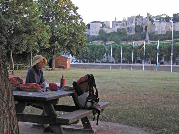
We woke at 6:15 and left the camping ground at 6:45. We had never seen anyone at the office and there was certainly nobody there at that hour. It was another free night, but we reasoned that what they did not know would not harm them, especially as we had only had one tepid shower at their expense.
The little road at the back of the camping ground was actually the GR3, so we had a good start. For much of the first twelve kilometres, it was a dirt track beside the river under the long early shadows of the trees.
Apart from crossing under the big bypass road, it was rather featureless, but eventually we saw the steeple of the church at Thizay and soon afterwards we got back on the bitumen, to reconnect with the main road (D749) at la Chausée. There was a bar at the intersection but its metal shutters were down so we were denied our shot of morning coffee.
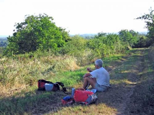
Instead, the GR took us high above the village onto the plateau, where people were tending their vegetables on little terraced plots. After a while we stopped in the middle of the grassy track and ate the stale croissants from Azay-le-Rideau, washed down with water.
It was remarkably pleasant and we could see in the distance the nuclear power station of Chinon, which was actually a good distance from the town, on the Loire.
It was the fourth such power station we had encountered and the most modern, with much smaller cooling towers. We had this information from Guy, our manager friend at Belleville-sur-Loire.
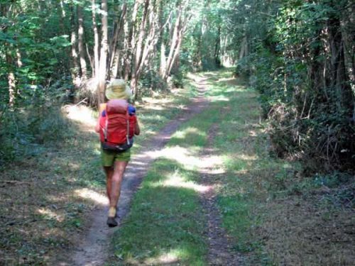
From here we descended to the picturesque Vallée des Veaux, then up a path flanking the perimeter fence of a military camp. The grounds inside the fence were rough and overgrown by comparison with the usual well-tended French countryside.
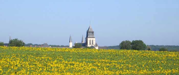
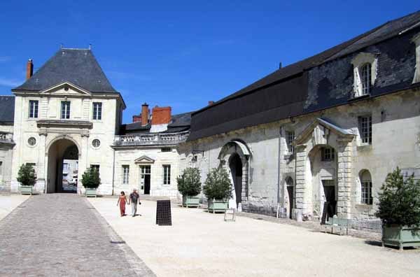
Coming out into fields of sunflowers, we saw the handsome royal Abbey of Fontevraud for the first time and before long we cruised into the streets of the village.
Our first mission was to find a bar. There seemed to be only one, and it lacked a terrace, but the day was so hot that we were glad to sit indoors.
After we had drunk our life-saving coffees, our hostess insisted on refilling our water bottles with iced water, instead of with water from the tap.
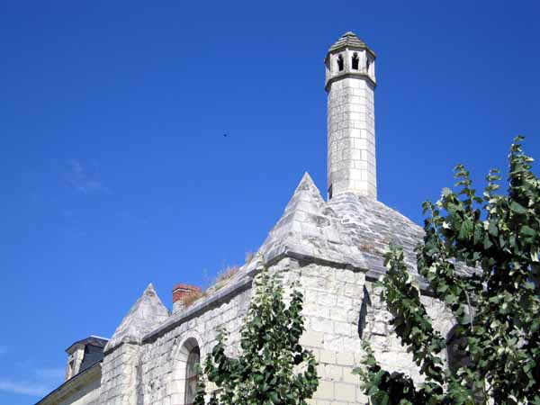
The abbey and the houses clustered around it were of the same white stone, and one house had a tall lantern on its roof, probably to guide benighted pilgrims.
Fontevraud is famous for its connections with Plantagenet royalty – both Henri II and his wife Eleanor of Aquitaine are buried there, as well as their charismatic son Richard the Lionheart (although he is there only in body, his heart being at Rouen and his brain at Charroux – details that we felt we would rather not know).
It was founded in the twelfth century by a reformist preacher, Robert d’Arbrissel, as a double monastery, housing both monks and nuns. The overall control of the abbey was always entrusted to a woman, and Eleanor spent the last years of her life there as a nun.
Although she was estranged from her husband, she never sought an annulment, for fear that Henry would then be able to appoint her abbess of Fontevraud, which would require her to take a vow of poverty and relinquish all her property to him.
Eleanor was an extremely clever woman who dominated the power struggles within the French and English aristocracy in the twelfth century.
Keith had the idea that he wanted to be a real tourist and go through the abbey, which had been recently restored.
We entered the imposing portal and by the time we had crossed the scorching gravel of the forecourt, Keith had changed his mind.
We still had five kilometres to go and the heat was stifling already, so instead we hurried off down the road towards the river (the GR looked too long and tortuous).
By good luck we came to a boulangerie along the way and got a fat demi-pain. The road was largely shaded and downhill, so it was easier than we expected.
At a big junction there was a track, which we had seen on the map and intended to take, along the departmental boundary between Indre-et-Loire and Maine-et-Loire, but it turned out to be steeply uphill and exposed to the full force of the sun, so we stayed on the road.
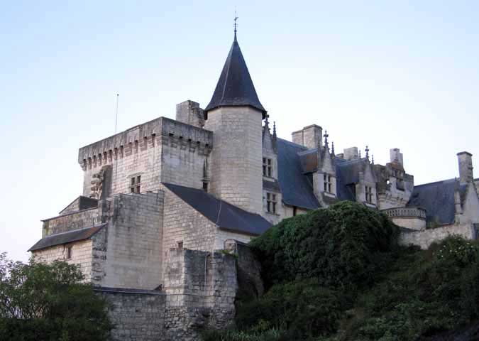
When we got to Montsoreau, we found that it was not only a Plus Beau Village, but also a Village de Charme and a Ville Fleurie. This was surprising, as it seemed plain enough. We later realised that the beautiful old village was further along, behind the château.
The main square, at the water’s edge, contained two bars and a few other shops, including a supermarket where we got lunch supplies before sinking into chairs at the shadier bar for a second round of coffee.
The camping ground was close at hand and appallingly expensive at €17.20. We could have gone in as two separate randonneurs for less (€8 each). The place conformed to the usual rule of camping grounds – the more you pay, the less you get. There was almost no grass, very little shade and the showers were of the old non-adjustable type.
After lunch we retreated back to the square and patronised the other bar, which was now in the shade.
Later it became slightly cooler and we started to consider the matter of dinner. We strolled along the riverside road as far as the château, looming over the Loire, and looked around the charming village behind it, with its lanes of troglodyte houses set into the golden stone of the escarpment.
There were some very classy little restaurants there, with price-lists to match. Then we saw a sign for another one (l’Auberge de la Route d’Or) at 600 metres and decided to press on along the narrow side street.
We crossed back into the department that we had just left (Indre-et-Loire), passed the confluence of the Vienne with the Loire, and found ourselves in Candes-Saint-Martin. It was another Plus Beau Village and a delightful one.
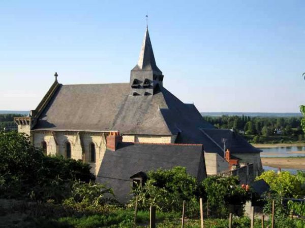
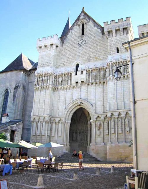
We came out onto the square in front of the church, a great sloping apron of cobblestones decked with the set tables and umbrellas of the restaurant.
Before sitting down we went into the church, which had been a magnet for pilgrims in former times, as the great Saint Martin of Tours, converter of the Gauls, had died there in 397.
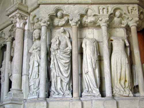
As was his custom, he had built a Christian shrine at this place on the ruins of a pagan one. We had met Saint Martin several times before on this walk so we felt quite at home with him. The present church was small but delightful. Inside the portal, a row of female stone saints stood headless, victims of the anticlerical zeal of the Revolution.
When we emerged, Keith saw a sign, “panorama piétons”, pointing up a path, and we could not resist following it.
By the time we got to the top we were regretting the whole idea, although the view from the bare bluff was expansive and interesting. We never did catch sight of the windmill which was supposed to be up there.
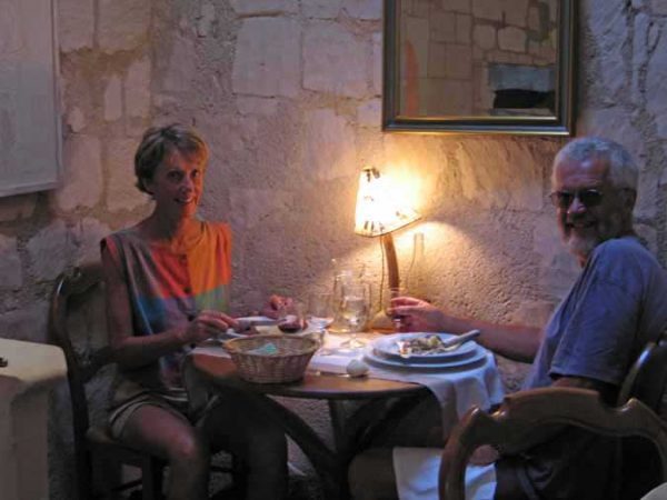
Back in the church square we asked for a table at the restaurant, but the ones outside were all reserved, so we had to go indoors. This was no hardship, as it was a lovely little stone room and there was a fan.
After our apéritifs we ordered a single plate each – beef with truffles for me and veal for Keith. Both came with dainty mushrooms and mashed potato, in no great quantity, but we called for extra bread and made a good meal of it.
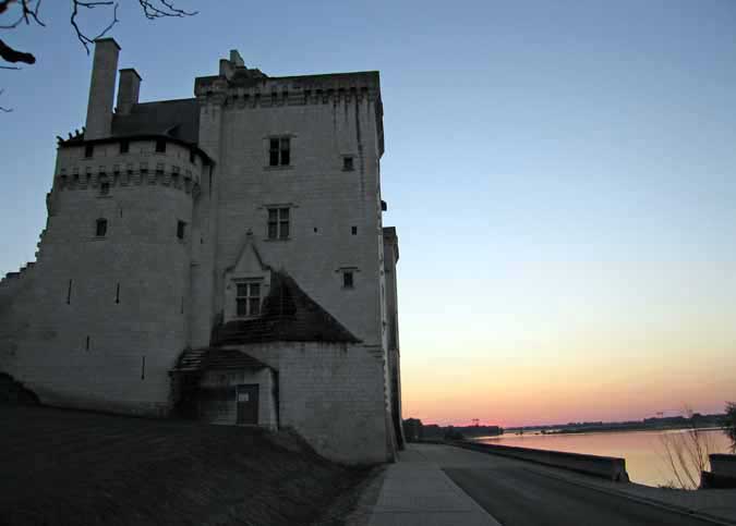
As we walked back, the sun was dissolving in a scarlet mass into the river with the uncompromising dark block of the château standing over it.
Previous section: Savonnières to Chinon