Monday, 11 June 2007
Distance 16 km
Duration 4 hours 25 minutes
Ascent 349 m, descent 268 m
TopoGuide (Ref 401) la Haute Provence par les Gorges du Verdon
Map 60 of the TOP100 blue series (now superseded)

Our expedition began unimpressively.
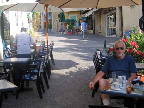
Keith was weak from last night’s food-poisoning as we crept up to the village and settled ourselves in the Place Frédéric Mistral for a breakfast of croissants and coffee, which seemed to make him neither worse nor better (Frédéric Mistral is the darling of the south, a nineteenth-century writer whose mission was to revive Occitan as a literary language).
With a slight extra climb we came to the place where we had eaten five years ago, and a shopkeeper pointed us towards the GR4, which was further up near the château of the Knights Templar.
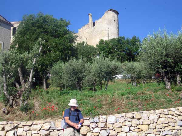
This was still a formidable pile, although partly ruined, straddling the crest above the village. It was one of the earliest built by this controversial order, in 1120, only two years after they were founded.
The upper village was a warren of cobbled alleys, with ancient doorways and tiny balconies. Once on the GR we continued uphill past houses and then amongst pines, small oaks and olives. The path was pebbly and steep and Keith made heavy weather of it.

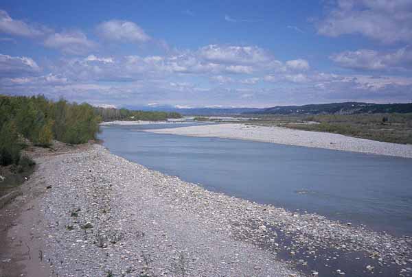
We rested at the open top of the rise where the track merged briefly with the road, then plunged down the other side in forest towards the wide valley of the Durance, with glimpses through the trees.
Then we crossed a road and climbed again to the abandoned farm called Mas du Grand Devenson.
A descent through weedy fields took us out to the D8 and from there it was a trudge along the road across the flood plain of the Durance. Much of it was on a bridge, but fortunately there was a narrow raised walkway beside the traffic lanes.
As we arrived at the roundabout near the station, from where we had hitched a ride the evening before, there was shout and we saw our plump benefactor driving past in his van, waving and grinning madly. So we did the same.

From the station it was a further long haul, all uphill, to the commercial heart of the town. None of it was attractive, all the buildings showing depressing modern features like cement render and aluminium windows.
At last we came to an area of shops and sank gratefully into chairs under the awning of the Café Noailles. I managed to get some peaches at the shop across the road just before it closed for lunch, and we then settled down to a delicious coffee with a jug of cold water.
For lack of other information about the camping ground, we struck out to the west, having seen a camping symbol in the Topoguide in that direction. Before long we were encouraged by a confirmatory street sign, but it was still a surprisingly long way and our resolve was tested as the sun bore down and the road kept rising.
By the time we got to it (1:30 pm), we doubted the very existence of the place. Mercifully, it was open and had all the virtues – thick green grass, hot showers and a beaming hostess. We paid the €11.80, then Keith lay down and passed out, not to fully recover consciousness until the next day. I washed myself and my clothes, chatted to the woman in charge, and ate the veal escallope ordered by Keith last night, wedged between two pieces of bread. In the evening I had a square inch of bread and cheese and crawled into the tent beside the invalid.