Monday, 9 July 2012
Distance 22 km
Duration 6 hours 5 minutes
Ascent 787 m, descent 209 m
Map 170 of the TOP100 lime-green series or,
Map 171 of the TOP100 lime-green series
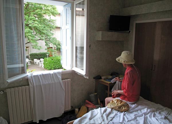
We left before 7 am and the grim woman in the housecoat was at the desk to take our €46. She even smiled at us as we shouldered our packs and wished us “bon courage”!
Our plan today was to leave the Way of Arles (having previously walked all the rest of it, from Lodève to the Spanish border), and strike off to the north, across the Causse of Larzac on the GR71.
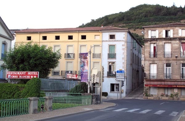
But first we went back into the centre of town for coffee, as there was only one village along our route and we knew that Monday could be a bad day for bars.
Even in Lodève, most of the bars were closed, but we found a boulangerie which had tables and chairs outside.
The trend in provincial France towards bakeries providing coffee is one that we heartily welcome. Often the boulangerie is the only shop open in the early morning, and for only a little extra effort they can provide a much-appreciated service to waifs like us.
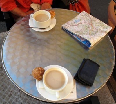
Still well-padded with muesli from the hotel room, we had coffee only, but bought a baguette for later. There were plenty of local people, mostly men, lounging about at the other tables. Our map showed a little road going up this side of the river, then crossing both the river and the highway to arrive at Soubès and join the GR71 going off to the north.
It looked like very good walkers’ way and we asked a leathery fellow at a nearby table to point out how to find it. “Ah, le vieux chemin de Poujols”, he said knowingly, and told us to turn left before the bridge, 50 m after another boulangerie visible down the street.
We set off optimistically but did not find the turn-off. Certainly there was no sign to Poujols and by the time we realised we had missed it, we were approaching the bridge, where there was only a dead-end access road to a few houses. Rather than turn back (a hard thing to do psychologically), we crossed the river and found ourselves on the highway.
From here we could have taken the GR to Fozières and on to Soubès, but the first part was on a road, and anyway we had already been that way in 2004. The shortest option was half an hour beside the highway, which was what we did. Fortunately there was an adequate verge for us to walk on.
We could see the houses of Poujols alarmingly high on the opposite hill, but the map showed the road staying low, close to the river, so we were sorry we had not been able to go that way.
When the road from Poujols came in over a bridge, we left the highway, passed under the autoroute and soon arrived at Soubès, which consisted of a single crooked street hanging onto the slope above a stream.
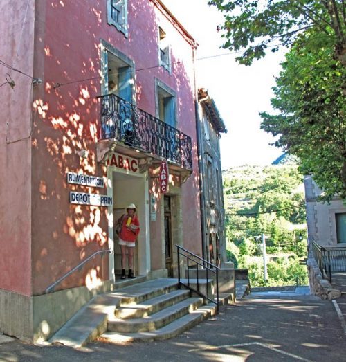
Beyond the sturdy church we came to a small, shady village square, with a bar and an épicerie facing each other.
As we had feared, the bar was closed, but the épicerie provided us with water to refill our bottles, and one of the other customers took us into the street and pointed out where the GR71 parted from the GR653, just along the street in front of the new school (this GR653 was one of three different branches of the pilgrimage on the approach to Lodève).
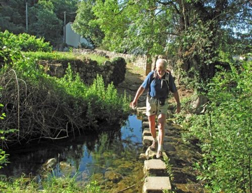
We had no trouble following the red and white markers, down through a field of vines and across the stream on stepping stones. There were a few more houses on the other side but soon we left them behind as we climbed into the forest.
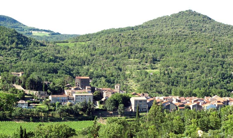
The track rose beside a tumbling cascade and the track was damp and slippery, with many steps and turns, darkened by a canopy of trees and shrubs.
We could feel our legs protesting after the hammering we had given them the day before, getting to Lodève, so we went slowly.

It was a beautiful place and we were not in a hurry. The lower section was also a botanical trail and there were information panels beside the path.
We crossed the stream and continued upwards past an ancient mossy stone wall.
Glimpses of sunlight hinted that we were near the top and before long we emerged from the forest and the track flattened out slightly.
However it was no easier to walk on, as it was choked with blackberries and other shrubs that caught our clothing and hid the GR signs.
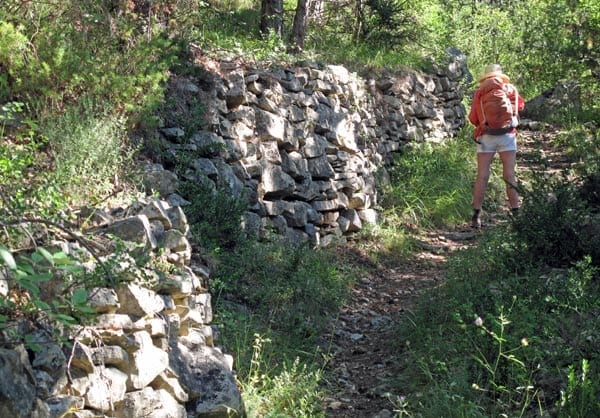
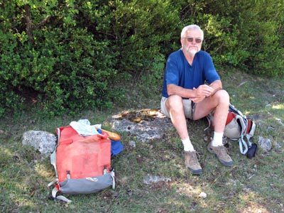
Just past a gate, we sat down at the edge of a grassy field for a bite of bread and cheese and a swig of water.
It was 10:30 am and we had climbed about 500 metres so far. But after that the way was fairly flat, although rough.
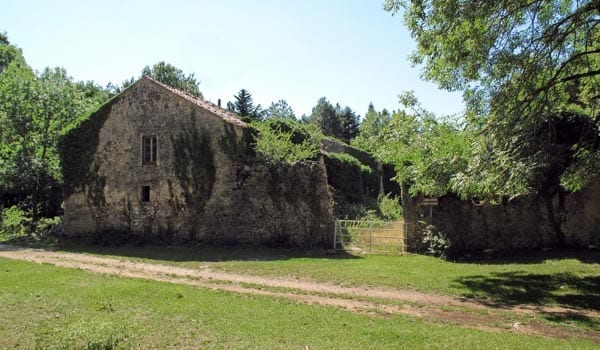
We continued along the dirt road, which was covered with a surprising number of boot prints, considering that we had seen nobody, and soon came to a fine old farmhouse surrounded by a series of low stone walls, formerly a garden by the look of it.
Creepers had taken possession of the house and there was a notice warning that it was in danger of collapse. There was a poignant sadness about this place, and all the forgotten lives that had been lived there.
We pressed on along the dusty road, musing on these things, until it dawned on us there that were no longer any boots marks, nor had we seen a GR sign for a while, so, with some reluctance, we went back and found a turning sign just opposite the farmhouse, pointing off into the trees.
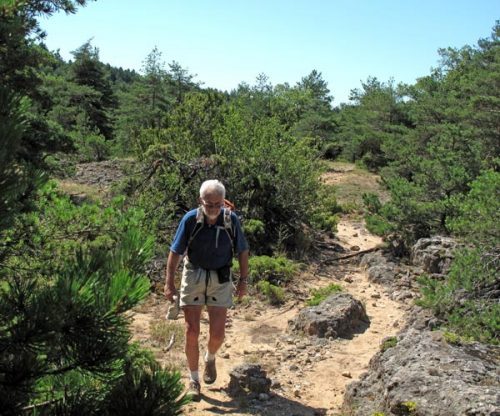
This sandy path made its way between chunks of the outcropping rough grey rock known as karst. The only shade came from small, tough pines and oaks and we started to feel the heat.
At one place, the path turned but the GR sign indicating this had lost its lower vertical line, so we went straight on and wasted a lot of time trying to convince ourselves that we were still on course. Little drifts of loose sand here and there looked like bits of track, but eventually we had to go back and look carefully at the offending sign, realising immediately that it had three bars instead of two.
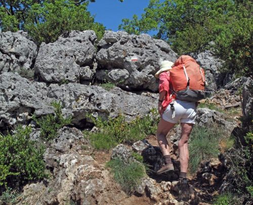
This led us to the proper path, with a satisfying number of boot marks, and we had no further trouble.
Gradually we left the more exaggerated rocky crags behind and came out onto the typical dry, flat open expanse of the causse. There was not a single village or farm to be seen, even far away.
The path became a wheel track and we crossed a small road which curved away up the hill. Walking beside it, we almost missed the GR when it slipped off on a weedy lane to the left.
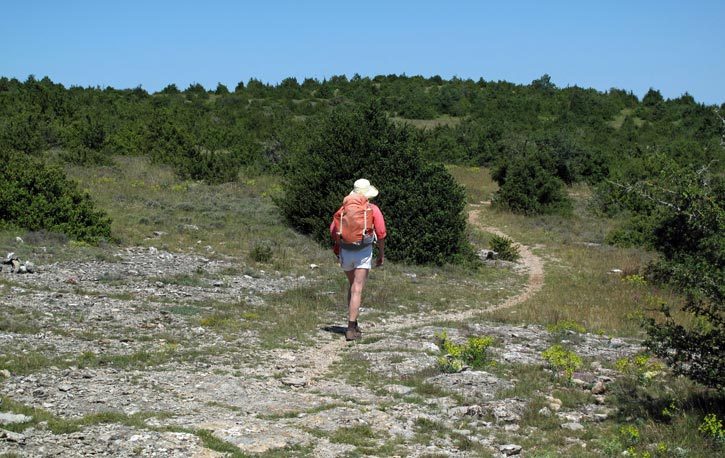
Here we met a group of three heavily burdened girls walking in the opposite direction. It is uncommon to meet any other walkers except on the pilgrim walks, so we were all surprised. Both parties reassured the other that the way ahead was trouble-free
We wandered on through scrubby, undulating land, with the rock so close to the surface that it was like a pavement in places.
The heat was increasing by the minute and there was no shade for miles, but eventually we found ourselves walking beside a well-graded dirt road, which merged into a bitumen one (the D155E).
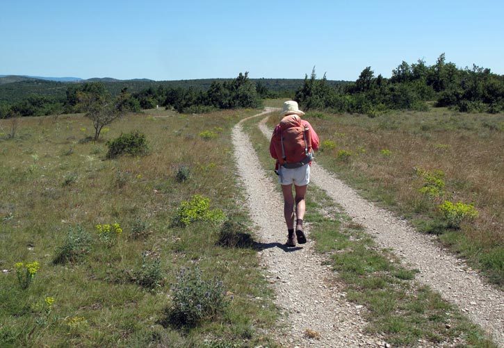
From there it was a simple matter of about 5 km on the tar to arrive at le Caylar. We drank the last of our water, gritted our teeth and set off.
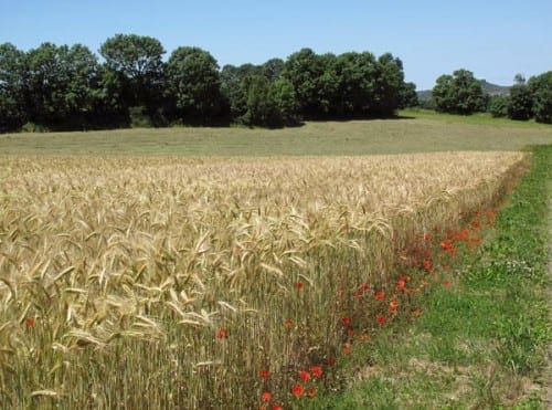
The causse gave way to fields of golden wheat, and lentils as green as moss. Then the road executed a couple of fancy bends going over a rise before we finally left the GR and cruised into the main street. It was about 2 pm and we were exhausted.
The first thing we saw was a little pizzeria/restaurant full of diners, some of them outside under umbrellas. We went in to ask the man at the desk whether there was a bar in the village and he said yes, further up the street, but it was closed on Mondays.
Would we like a drink here? We certainly would, and by then one of the outdoor tables was vacant, so we squeezed into the shade while our saviour busied himself with coffee.
He reappeared with a tray carrying two coffees, a carafe of milk and a litre of water with ice cubes. We drank down the whole litre in a few gulps and started on the coffee. The milk was cold but we did not like to trouble our benefactor to heat it up, so the resulting coffee was tepid, but still delicious.
Whilst paying, we found out that the restaurant would be open this evening so we booked a table, mainly because we had fallen in love with the barrel-vaulted stone ceiling of the interior, and with our host.
Venturing further along the street we found that the bar was not actually closed after all, although it looked less inviting than the place we had left. Opposite the bar was a small square in which a dead tree was enshrined in a sort of bandstand, its skeleton carved and polished hideously. No doubt it had significance for the locals.
The village had a surprising number of restaurants, which we realised was because of the autoroute exit nearby. In fact there was a whole other shopping centre on the road to the exit, big and brash like a ski-resort. The camping ground was half a kilometre further on, out on the causse. We came to a wide, deserted apron of bitumen surrounded a block-like building bearing the sign “Restaurant” in huge neon letters, but it was locked and empty. It was like a small airport terminal, minus the planes, cars and people.
It turned out that this had nothing to do with the camping ground. An arrow pointed up a steep ramp towards a metal shed, which was the reception for the camping.
Inside, a woman was playing Scrabble with a young boy and they both abandoned the game to walk down with us to the campsites.
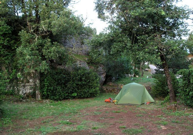
It was a charming area, hidden from the road behind a little hill, with caravans and tents tucked in between large rocky outcrops, around which grew the natural trees, bushes and wildflowers of the region.
We sank gratefully into our grassy nook and after a while summoned up the energy to have showers.
Then we went back to the office to pay, and also to ask how to get onto the GR again in the morning. We could see on the map that it went quite close by.
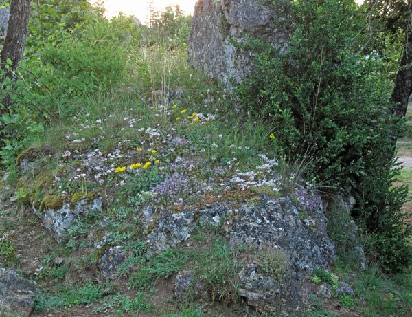
The good news was that we only had to walk down to the bottom of the camping ground, go past a large boulder blocking the way, and we would be on the GR. While we were there, we asked whether we could get breakfast tomorrow at the village of la Couvertoirade, five or six kilometres away across the causse.
Our hostess kindly rang the Office of Tourism there and discovered that the first café would open at 11:30 am, not much use to us. Her suggestion was to go back and have breakfast at the boulangerie near the autoroute exit, which opened at 6 am.
The rest of the afternoon we spent in repose among the rocks and flowers of our camping spot. On our way back to the village we checked the way to the GR and walked back along it towards the autoroute exit. This time we noticed the boulangerie with its gigantic yellow sign facing the autoroute.
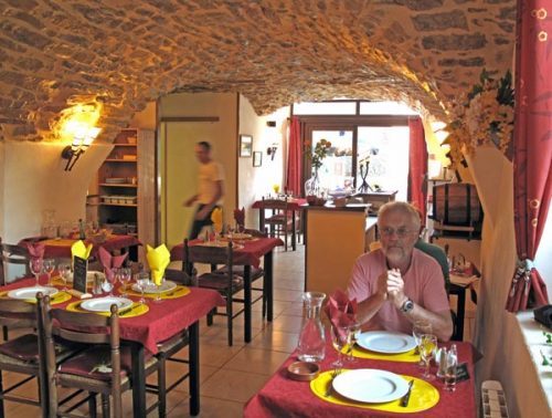
At the bar in the centre of the village we stopped for an apéritif, ignoring the ugly corpse of the tree just across the road, then strolled on to the pizzeria. Several tables were already occupied but we had the best one, under the window.
The vaulted ceiling made us feel as if we were in a cellar or a crypt, and the side lighting lent a pleasant air of intimacy. Our host, a thin, asthmatic-looking fellow, brought us welcoming glasses of Kir and a bowl of pretzels to keep us happy while we looked at the menu.
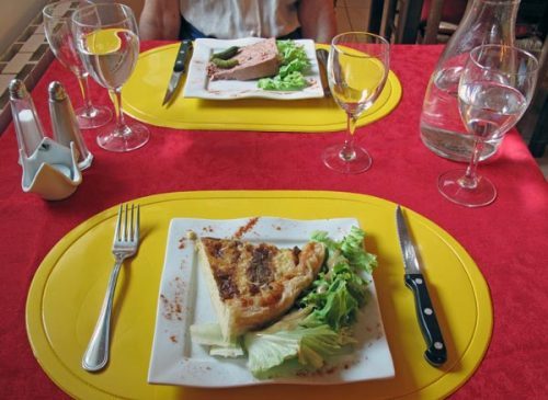
We chose from the menu du jour. Keith had a Roquefort tart to begin, while I had mushroom paté. Then we shared a beef casserole and a leg of duck with delicious steamed potatoes.
With two baskets of bread and our normal ration of a half-litre of wine, it made a very satisfying dinner.
Previous section: Montpellier to Lodève