Wednesday, 27 June 2012
Distance 37 km
Duration 7 hours 25 minutes
Ascent 410 m, descent 956 m
Map 164 of the TOP100 lime-green series
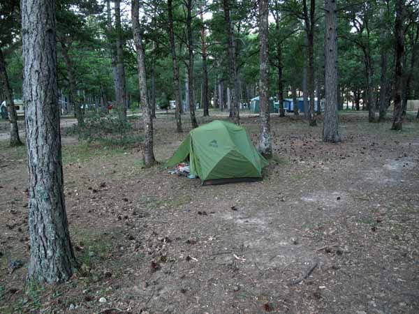
Although we were in an official camping ground with quite a number of other occupants, we felt alone as we crawled out of the tent. The place was enormous and our fellow campers far away, and evidently asleep.
The ground was almost bare except for a scattering of sharp pine cones, so we took our possessions over to the entrance and ate our muesli on a bench there. As before, the office remained firmly closed, so once again we had a free night’s accommodation.
There was a hint of freshness in the air when we set off, but by the time we arrived in town at 7 am it was already getting hot.
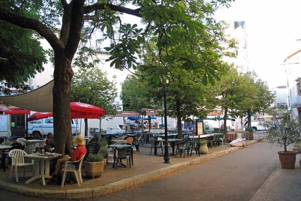
In the square where we had dined last night, the weekly market was setting up and the bar was open, so we sat down under a huge plane tree for a dose of coffee and bread fresh from the baker, to fortify ourselves for the long walk to Saint-Saturnin-lès-Apt.
When we set off to find the bridge, it soon became clear that we were still far above the river, which was a surprise, as we had descended so much from the camping ground into the town.
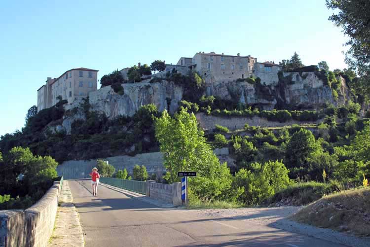
Following a series of tumbling lanes, we came out on a steeply rising road with a big signboard at the top, which was too far away to read, so we trudged up towards it until a man tending his garden kindly turned us round and pointed us down a different road, which quickly led to the river.
As we crossed the bridge, we looked back and realised that the town was actually high above the plain on a natural wall of rock.
A short distance along this road, we came to the intersection with the GR4, which was coming from Mont Ventoux in the general direction of Nice, and was therefore of no use to us.
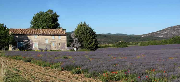
However, it marked the place where we turned off onto a thread of bitumen which ran between farms of wheat and lavender.
On our somewhat inadequate map there was a black line branching off at the end of this little road, which we hoped would be a track. If so, it would take us over the rise and into the wide basin of the Luberon.
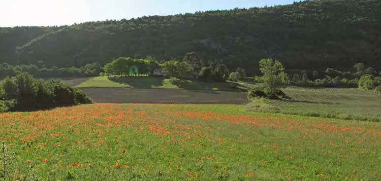
We marched along in the clear morning air, not meeting a soul.
The flat valley was surrounded by distant low hills and eventually we came to the hoped-for track, which immediately began to climb towards the crest.
Our relief was tempered by the extra effort required on the steep, rocky roadway.
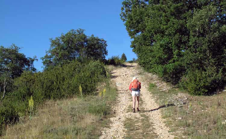
After half an hour we joined a small bitumen road and soon arrived at the top, where the few houses of St-Jean straggled about the church.
Here the main road swept past, and also a GR – this time the GR9, which was just as unhelpful as the GR4.
Our plan was to take a minor, and much more direct, road (the D230) down the escarpment to Saint-Saturnin-lès-Apt, but first we had to get through the ridges and hollows of the uplands.
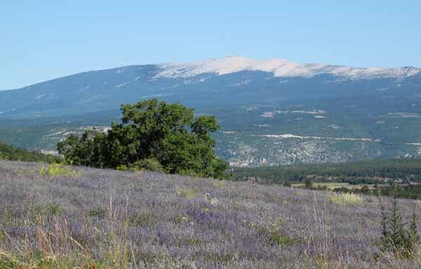
We were not actually at the top, after all, and the road continued to rise. From this height we could see back across open fields to the white-topped whale of Mont Ventoux.
Suddenly on the road ahead we saw a party of walkers straggling along. They had appeared from a side track and took off on another one before we could catch up, but we waved to them as they disappeared into the scrub. It was a rarity to see other people on foot.
After four kilometres we arrived at the crossroads of Sarraud and sat down for a rest on a shady patch of grass at the gates of an imposing new house. We drank most of our water and ate the last of our dried peaches, brought from Australia specially to get us through the Baronnies with their paucity of villages in which to have second breakfast.
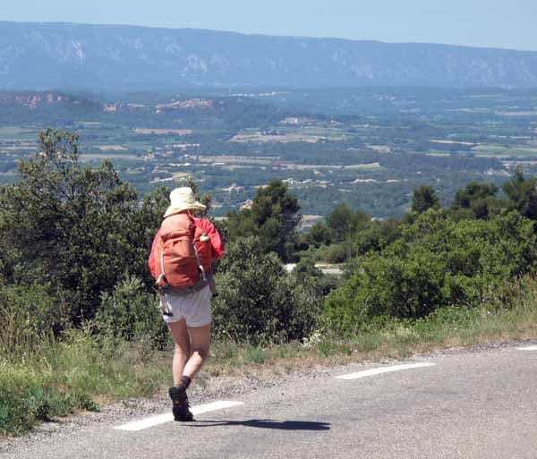
As soon as we set off again, we saw a line of cherry trees beside the road which completed our refreshments.
A short distance further on, we came to the Col des Liguières (997 m), the true top, and then it was a steady downhill push.
Stunted olives, oaks and pines covered the dry slope, casting little shade, and below lay the villages and farms of the valley, backed by the dark wall of the Grand Luberon. The red village of Roussillon, which we had walked through in 2007, crouched on its hill beside the great scars of the ochre mine.
By now it was after 11 o’clock, the sun was glaring down and we had been going for four hours.
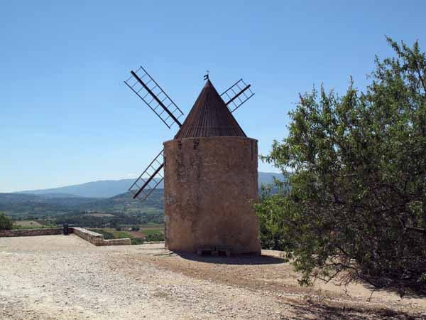
The last hour was a trial of endurance, but at last we came to the restored windmill just above Saint-Saturnin-lès-Apt and soon afterwards we were in the streets of the town.
The central square was occupied by the Office of Tourism on one corner and a bar on the other, and we hurried to the bar, although we knew that we should go first to the Office, in case it closed for lunch.
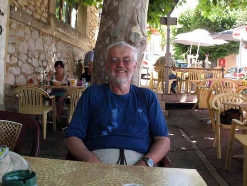
It was such a relief to be sitting at a table, under the dense shade of a plane tree, waiting for our coffee to appear. The waitress assured us that the camping ground was just down the street below, so in the end we didn’t bother visiting the Office of Tourism.
This was a golden rule broken, for which we were to pay dearly.
Refreshed and relaxed, with our water bottles empty, we strolled off to the camping ground, which was about a kilometre away, down a fairly steep hill.
It looked pleasant, with plenty of trees, but as we went through the gate a woman appeared and barred the way. It was a private camping ground, she said, and we could not come in. However there was another one two or three kilometres further to the west and we should take the second turn to the left.
Disgruntled but not worried, we marched along, took the second turn to the left and found ourselves out in open country with no sign of a camping ground.
On and on we walked, still descending, and with every step the idea of going back to St-Saturnin became less appealing. On the other hand, we were in the middle of nowhere, waterless and shadeless.
At last we came to a side road with a sign “Gargas 2 km”. On the map this looked like a big place so we set off towards it, hoping for a hotel. We passed orchards and vineyards, then scattered houses, and at one of them we knocked on the door in hopes of getting our water bottles filled.
There was nobody at home, so we took the liberty of helping ourselves from the garden tap. The water gushed out brown and warm, but then ran clear and we drank a huge amount straight from the tap before filling the bottles.
A long way further on, much more than 2 km, we came a crossroads that looked empty, but as we reached it we saw the heavenly sight of an outdoor restaurant packed with diners. This was Gargas itself and we tumbled in through the gate and cast ourselves down at a table under the trees, exhausted.
We were enclosed in greenery, with a little stone fountain beside us, and the nearby awnings had jets of mist spraying into the air, so it was far cooler than the 35ºC displayed at the pharmacy beyond the hedge.
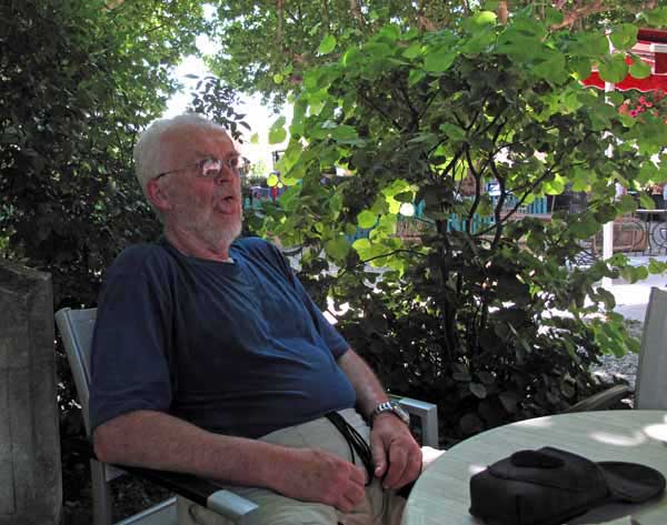
Although we had drunk a good 10 litres we were still dehydrated. That combined with the heat had made Keith slightly queasy, so we stayed there a long time, drinking coffee and vast volumes of water. The waitress said there were no hotels in Gargas, and was vague about where the camping ground was, but a local drinker at the next table came over, perused our map and declared it was four kilometres away to the north – not in the direction that we wanted to go.
With a strength that he did not know he possessed, Keith dragged himself up the road to the centre of town and found a signboard pointing to three hotels, respectively two, four and unspecified kilometres away. All were in the right general direction so we gritted our teeth and set off. We must have been a pitiable sight, as a kind-hearted woman stopped and offered us a lift to Apt, which we had to decline.
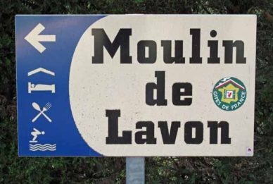
After two kilometres there was another sign and this time the distance to the nearest hotel was 1.5 kilometres. At this rate we would never arrive. However we had no choice but to keep going. After a short distance we came to a noticeboard pointing into a lane,“Moulin de Lavon”, with icons for a bed and a knife and fork. It was worth a try.
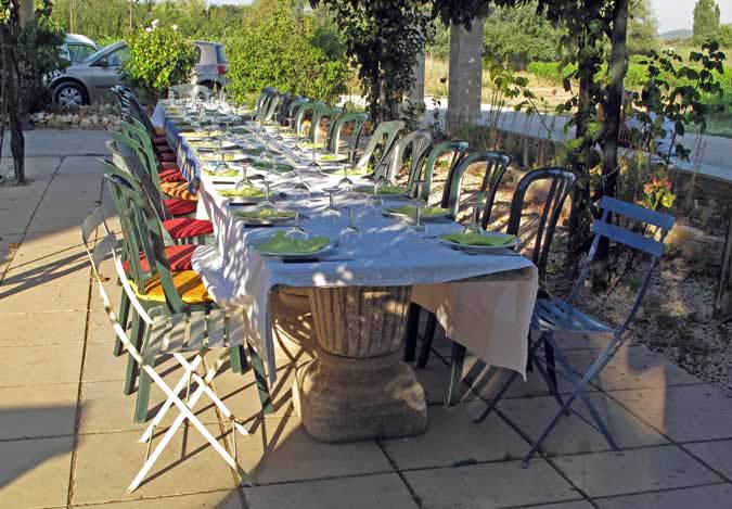
Past a high mass of shrubbery, then a vineyard, then a swimming pool, stood a traditional farmhouse, in front of which a long table was laid under an arbour.
We were met by a young woman who informed us that they were booked out, at which point I declared that we could not walk another step, and suggested that we put up our tent somewhere in their grounds. She looked very doubtful but said she would ask her husband.
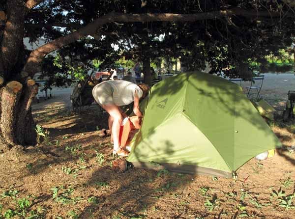
At that moment he walked in and cheerfully took the whole thing in his stride. In no time he had shown us a soft place for our tent under a spreading cypress near the pool, and invited us to use the toilet and cold shower of the pool for our ablutions.
He would also include us in the evening meal that he was making for the guests.
We were too tired to have a swim, and in any case we felt it would be presuming on our hosts’ kindness. We made do with a delicious cold shower (no colder than many ostensibly hot ones we have had at camping grounds).
Even under the tree it was baking hot, and as the sun declined, its rays penetrated beneath the branches and we were obliged to lie in the shade of the tent itself.
Dinner was scheduled for eight, so at half past seven we rose and wandered around. Groups of guests were sitting here and there at small tables on the gravel forecourt, and from one of them came the unmistakeable rasping twang of the Australian accent.
Naturally we went over and introduced ourselves. They were an escorted group from Melbourne, their leader (also from Melbourne) having been to this hotel 22 times before.
It was odd that on two successive nights we had been in the company of a large group of Australians, as these were the only times that we saw, or even heard, any of our fellow countrymen, in the whole of our month’s walk.
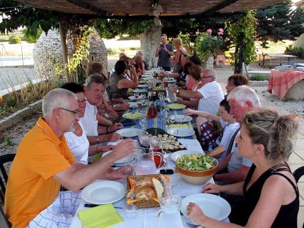
The bell rang and we trooped over to the table. To our surprise, we were not placed on the two unmatching metal chairs at the end, but right in the middle, between the Australians and the rest of the guests.
Presumably this was because we could converse in both languages, which we did. It was utterly delightful, although all the guests, French and Australian alike, made no secret of their opinion that we were lunatics.
The meal was a classic. It began with small rounds of toast spread with olive tapenade and thyme, and topped with goat’s cheese. With these came big bowls of salad, bringing to mind the traditional Provençal answer to the question – “How many people does it take to dress a salad?”
It takes four:
Un avare pour le vinaigre,
Un sage pour le sel et le poivre,
Un prodige pour l’huile,
Et un fou pour le tourner
(A miser for the vinegar,
A sage for the salt and pepper,
A profligate for the oil,
And a madman to toss it)
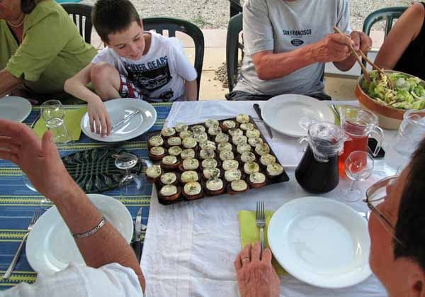
We served ourselves from three big platters, and washed it down with jugs of red wine, rosé and water.
The wine was from grapes grown on the premises.
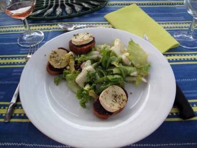
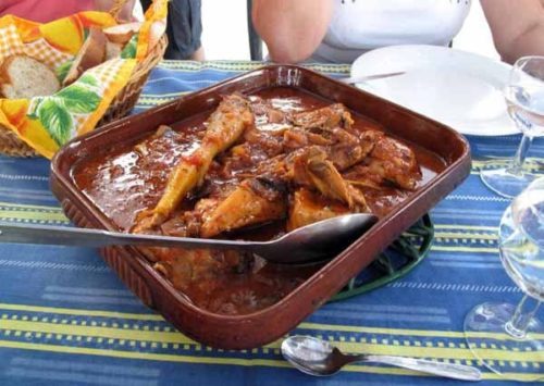
Then the main course appeared – a dish of chicken laden with herbs and tomatoes, and a local speciality called tiàn, which was a dark mass of aubergine covered in breadcrumbs.
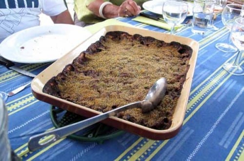
Our cook and host, Gilles, explained that the name actually referred, not to the contents, but to the traditional square, shallow container.
He said that one of the ingredients was an ancient grain, and I surprised him by mentioning its name (petite épautre), which I had only learned two days before.
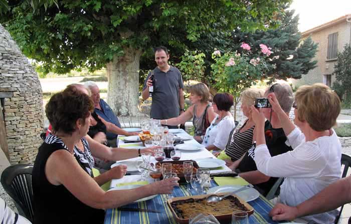
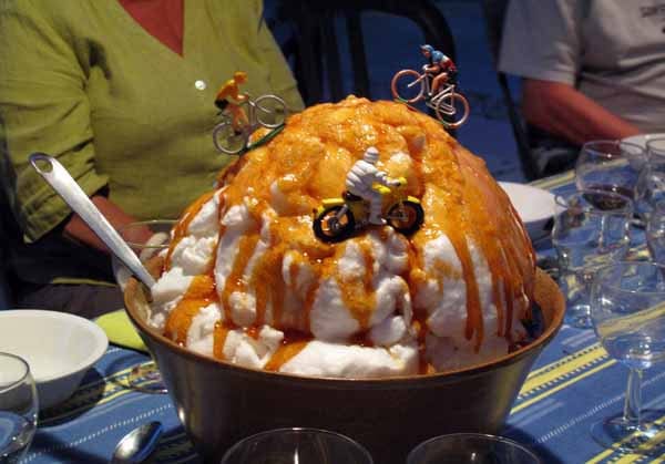
It was getting dark by the time dessert arrived. This consisted of three magnificent mounds of meringue covered with a carapace of toffee, which Gilles announced as “Mont Ventoux in a strong wind”, although the colours were the reverse of the actual mountain.
Tiny model cyclists adorned its flanks.
I had decided to stand up and make a speech of thanks, but our hosts had vanished before dessert was over, so I lost the chance.
We sought them out in their sitting room, to pay before our early start tomorrow, and the total bill was an astonishingly cheap €40.
Thus a day that threatened to be a disaster turned into a triumph.
Previous section: Rémuzat to Sault