Monday, 30 May 2005
Distance 29 km (including 7 km being lost), time 6 hours 45
Ascent 139 m, descent 176 m
Map 26 of the TOP100 blue series (now superseded)
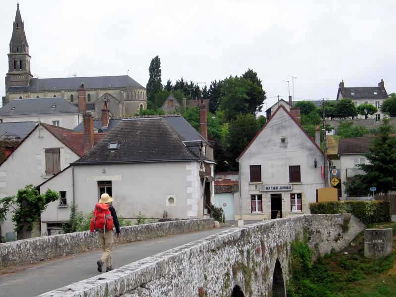
The rain had gone when we woke and the bells were sounding crazily in the local church.
No wonder France is so green – rain is a normal part of life, not something you go out and dance in the streets about.
We had no milk, having forgotten to think ahead, so we packed up and wandered back to the village in search of breakfast.
The hotel had a light outside, and we went into an oak-beamed bar, where we had large bowls of coffee, with the leftovers of the house guests’ breakfast – three dinner rolls and a croissant, with butter and jam, a fine start to our new expedition.
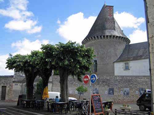
At 9 am we set off past the camping ground again and up onto the flat land between the Loire and the Cher. Our only guide was a photocopied page from the road atlas, as we had not had time to acquire the map.
All morning we were on tiny roads, like cycle paths but with the occasional passing car, through woods and farmland. Roadside refreshments consisted of cherries and young peas. A melodious twittering rose from the cereal crops but the sky was empty of birds.
About midday, after a delightful walk, we pulled in to Pontlevoy, which, with nine roads radiating from it, held out hope of a coffee.
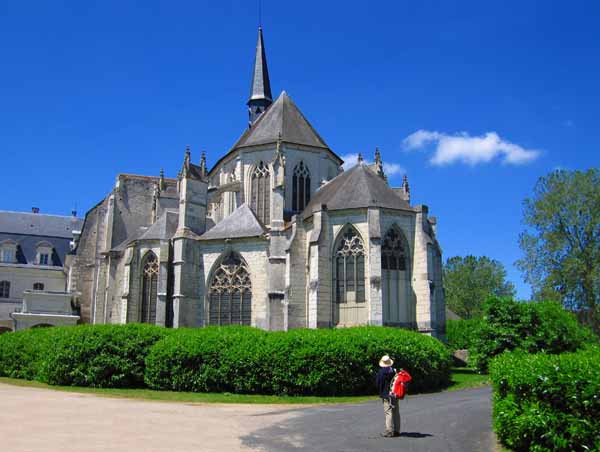
We were not disappointed and the centre was a jewel, made all the better by a series of old photographs on the walls – le Musée de la Rue. The village is centred on a fine slate-roofed abbey, which has been pressed into service as an outpost of the University of Southern Mississipi.
The population of the place is heavily skewed by the presence of American students absorbing the language and culture of France. We met some of them as we sipped our coffee in a little tree-shaded square next to the abbey wall.
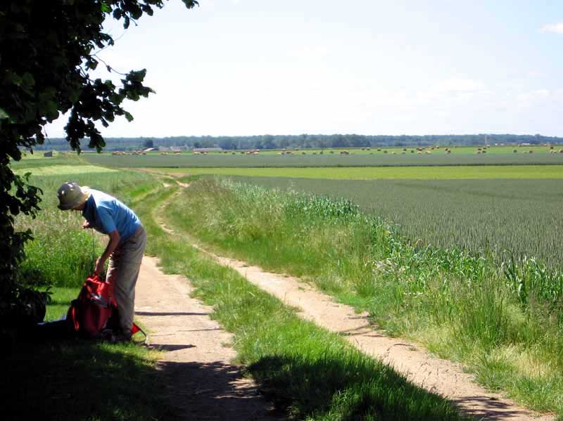
Following the GRP marks (red and yellow), we left the town towards the south-east, but then veered suddenly back, crossed the main road, and joined a grassy farm track. We had lunch on the springy turf beside it.
Many twists and turns later, we crossed another road and entered a forest plantation.
Trustingly, we followed the GRP marks for several kilometres and emerged from the heavy canopy to discover, from the position of the sun, that we were going west instead of south-east.
We were no nearer our goal than we had been when we entered the forest. This blunder was because we did not have the TOP100 map yet.
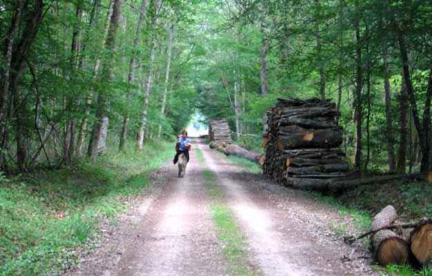
There was nothing for it but to trudge into Montrichard by road, sore of foot and low in spirits.
A painfully drawn-out entry from the west got us at last to the main, almost the only, street, which was packed with hospitable bars and shops. Above this happy bustle, the romantic remains of the donjon hovered.
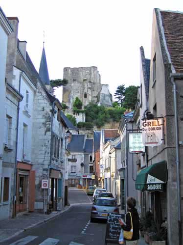
The camping ground was a kilometre or so downstream, a kilometre that we had no desire to walk, but it was green and pleasant when we got there.
A cheerful, dishevelled man with long grey-streaked locks welcomed us with the enthusiasm he reserves for walkers and cyclists. He said he had a man with a donkey staying last year.
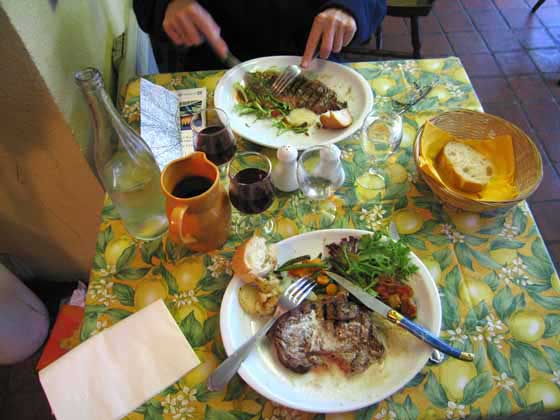
After showers and clothes-washing there was no time for a rest, as it was already 7 o’clock. We went straight back to the village and sat down at a bar on the footpath, where we lingered luxuriously over brimming glasses of rosé.
For dinner we chose the Grill du Donjon, a little place near the bridge, where everyone was eating inside, as the evening had turned cool. The meal was simple – steak and salad – but elegantly arranged and much appreciated by two ravenous walkers.