Wednesday, 29 June 2005
Distance 21 km
Duration 4 hours 45 minutes
Ascent 221 m, descent 239 m
Map 48 of the TOP100 blue series (now superseded)
Map 47 of the TOP100 blue series (now superseded)
Topoguide (ref. 321) Traversée du Périgord
After the storm it was much cooler and the sky was quite overcast.
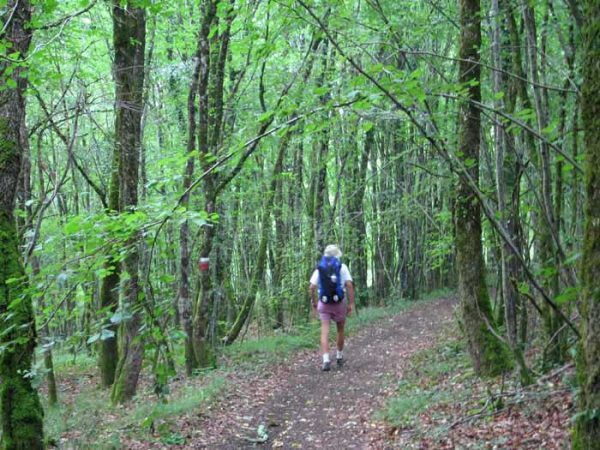
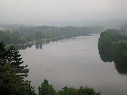
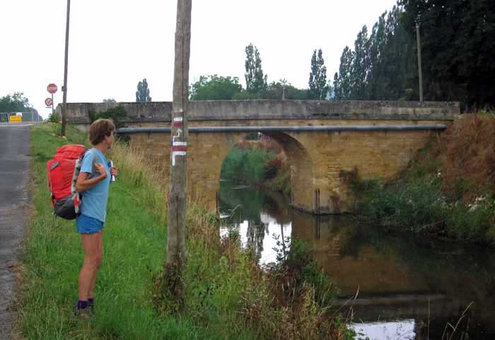
We set off just after 8 am, taking the road that pulled up the face of the escarpment to join the GR6 coming from the village. The curve of cliffs that hangs over this bend of the river is called the Cingle de Trémolat.
The GR took us on a wide path, padded with brown leaves, through the forest and eventually out to the very edge of the drop.
Through gaps in the trees we saw the great loop of the river enclosing fields and villages far below.
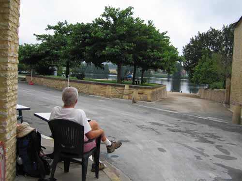
In a couple of hours we arrived at the riverside village of Mauzac, only about 3 km from where we started.
There was a neat little park and a boatramp, but the bar overlooking them had an ominously closed look.
Fortunately we were wrong – because of the rain, the outdoor tables were still stacked up, but after madame had mopped a table and some chairs for us, we sat down gleefully for our first coffee of the day. Croissants from the shop round the corner added to the occasion.
We got a fragrant stick of bread and a tin of fish, in case we did not make it to Lalinde before the shops closed. All the streets of Mauzac were being torn up, presumably to cobble them or put in flower beds.
From then on we stuck to the delightful GR as it traced its way along the towpath of the lateral canal. We sampled various types of plums, mostly not quite ripe, as we strolled along.
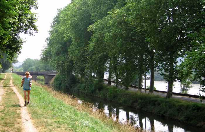
A jarring sight was an abandoned jail with a double barbed-wire fence clad with iron sheets, so that the poor convicts could not even look out on the pleasant fields around them, an unnecessarily vindictive touch, surely.
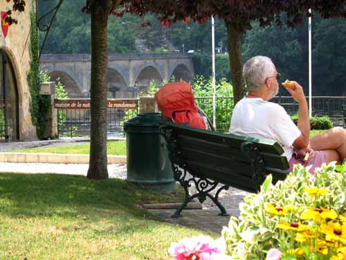
We crossed the canal on a stone bridge and continued beside it to Lalinde, passing the camping ground on the way. In the town, a humpback iron bridge takes walkers back over the canal where it widens into a little harbour.
The town was an English bastide with the typical square layout, but the centre has lost all its arcades and the market hall is fairly recent.
One house definitely looked thirteenth-century, with a jutting-out upper storey of breathtaking decrepitude supported by crumbling timbers. Not something to walk under.
We found a little park on the high river bank near the road bridge and had our lunch in a bower of roses. Then we retreated to a lane for coffee on the shady side of the street.
Further down we saw for the first time how bulk wine is dispensed in the region – at a bowser with a nozzle. You bring your own container and the amount comes up on a screen, just like for petrol. The difference is that wine is cheaper.
There is plenty more pleasant river walking on the Dordogne in the downstream direction, as we discovered in 2007.
Leaving Lalinde
Lalinde has a railway station. From there you can go to almost anywhere in France.