Thursday, 28 June 2007
Distance 36 km
Duration 7 hours 55 minutes
Ascent 698 m, descent 555 m
Map 59 of the TOP 100 blue series (now superseded)
Topoguide (Ref. 700) le Chemin de Stevenson
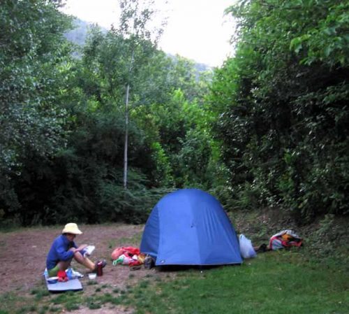
It was so icy in the morning that all our movements were speeded up and we were on the road by 6:40 am.
We puffed into the village, feeling much warmer, just as the 7 o’clock bells sounded, and went straight to the boulangerie. To our horror it did not open till 8:30, so we were faced with a long day’s walk in the wilds with no bread.
From Saint-Germain-de-Calberte the GR broke away completely from the road, on an ancient stone-paved path, extremely steep and now in disrepair, the paving stones loose and jumbled. We struggled up 500 metres in the first pull (1 hour 15 minutes) to the Col de la Pierre Plantée, and even then the path continued to rise, although less dramatically.
The red-and-white GR marks were fresh and clear, fortunately, as we were in a maze of gravel forestry tracks going in all directions. Somewhere here we crossed the watershed between the Gardons, the rivers that drain into the Mediterranean, and the Tarn, which drains into the Atlantic.
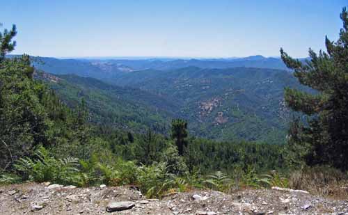
When the path began to descend, we met two French walkers coming from Cassagnas, looking haggard with fatigue, as we no doubt did too. Both parties had just climbed a long way.
The path skirted a deep valley and took us relentlessly down a ridge to a small stream. Here there was a choice of two GRs, both heading towards the Gare de Cassagnas (the railway station), rather than the village.
We took the one that was on a little tar road, the D162, following a stream hidden in greenery below us.
On the way we met a stocky little woman with silver teeth and a long staff, who was going to Saint-Germain-de-Calberte. We stopped and had a pleasant chat. She did not seem to be in a hurry, and nor were we, as we knew we were only a few kilometres from the village.
As it turned out, we never got there. We were under the impression that the Gare de Cassagnas, where all the amenities were, was in the village, another two kilometres away, but when our little tributary stream came to its confluence with the main river (the Mimente), we saw before our unbelieving eyes, across the bridge, a large modern yellow edifice bearing the label “Gare de Cassagnas – Chambres d’Hôte – Bar – Restaurant”.
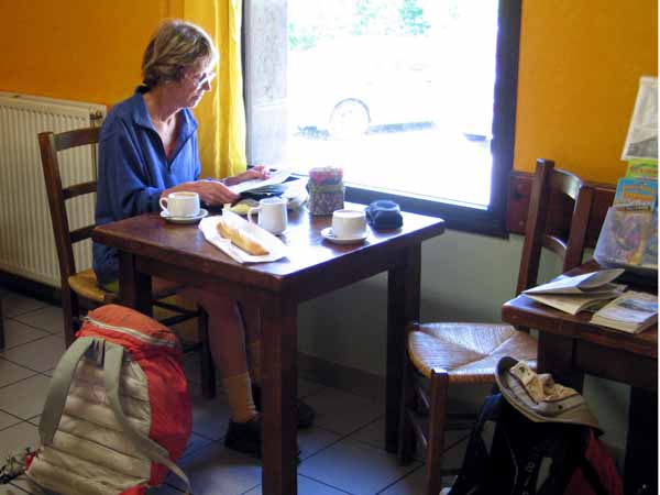
It was an enlargement of the old station building and to us it was like a golden vision of paradise. In no time we were installed at a window table with the fragrant steam of coffee rising between us. The place also sold bread, so our lunch problem was solved, and we ate half the baguette with our coffee.
It was only 10:45 when we arrived at the Gare, far too early to stop for the day. The air still had a cold nip in it and we felt strong after our coffee break, so we set off, past the camping ground that was also part of the Gare, along the old railway line in the direction of Florac.
This line had a short life of only sixty years, from 1908 to 1968, when the rails were removed and it became a cycle path.
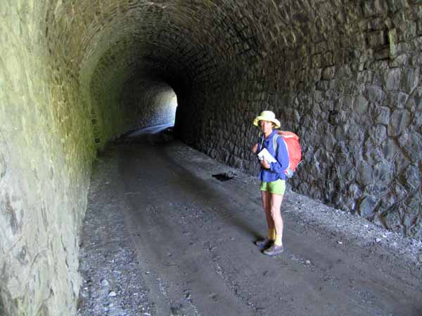
We had walked on many abandoned railway lines in France, and this was one of the most delightful of them, following the tumbling river, with the broken peaks of the Cévennes above on both sides.
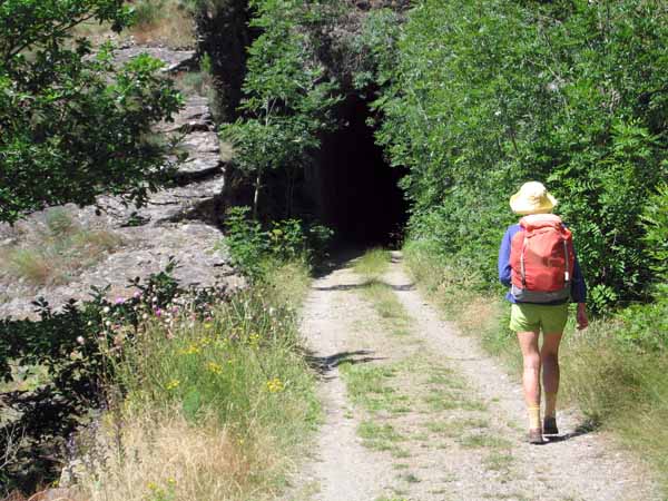
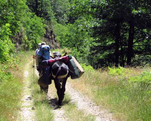
There were three tunnels to go through, and in one of them we met a donkey on its way up, being led by a couple almost as awkwardly laden as their animal.
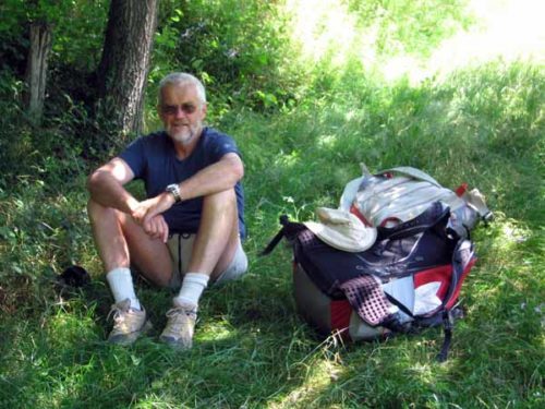
I finally took off my warm jacket at noon, and soon afterwards we stopped for lunch on the side of the track, just above the village of Saint-Julien-d’Arpaon.
At the village, the railway line was engulfed by the highway, which had been coming down parallel to us ever since the Gare, and our comfortable descent was at an end.
The GR was forced to take to the hills to keep off the bitumen, but we decided to stay on the road and make a dash for Florac. We thought Robert Louis would approve – after all, neither the highway nor the railway line were there in his day.
Despite its inhuman scale and the lack of shade, the constant slight downward gradient of the highway made us feel strong and fresh most of the way, and we arrived in the town in good order before 3 o’clock.
With our prior knowledge of the place, we went straight to the double avenue full of cafés that is the heart of Florac, and sat down under a canopy of leaves for richly-deserved coffee, with which I had a leek tart and Keith a plum twist.
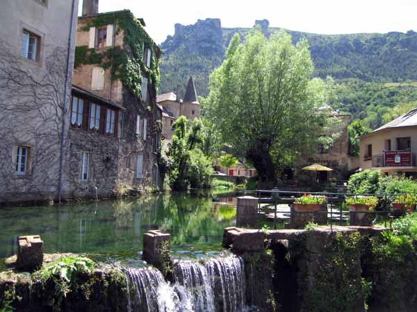
The next hour or so was spent sending an email, then at 5 o’clock we continued on through the elongated town, stretched out along the Tarnon. This river bears the same relationship to the Tarn as the Gardons do to the Gard, but at least there is only one of it.
Our destination was the municipal camping ground at the confluence, where we had stayed three years earlier. It had spruced itself up noticeably in the interim, and was well patronised. Even its distance from town seemed to have shrunk.
We had excellent showers and washed our walking clothes, but had to leave them damp on the line when we went back for dinner, as it was too cool for them to dry in time.
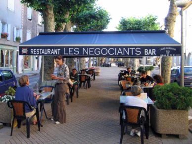
We ate in the same street where we had had coffee, with its numerous outdoor restaurants overhung by plane trees.
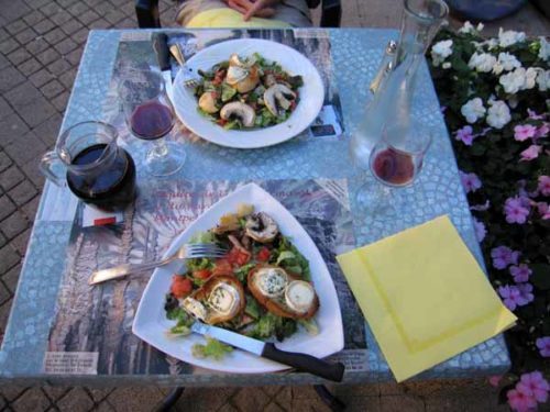
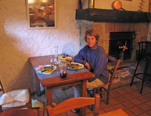
For starters we had large, delicious salads, one with warm goat’s cheese and the other with big forest mushrooms. By the time they were finished we were feeling the chill of the evening seeping into our bones through our jackets, so we moved indoors for the rest of the meal, into a cosy stone room with a fireplace, much warmer than the street.
We renewed our eating campaign with steak and roast pork, beautifully garnished with vegetables, and Keith continued his research into the crèmes brûlées of France, while I got three cheeses, which I put away for tomorrow’s lunch.
During the night the cold mountain air penetrated all our clothes and our sleeping bags, even though we were huddled together, and I had forgotten to dig a hip hole, so I was most uncomfortable.
Previous day: St-Jean-du-Gard to St-Germain-de-Calberte