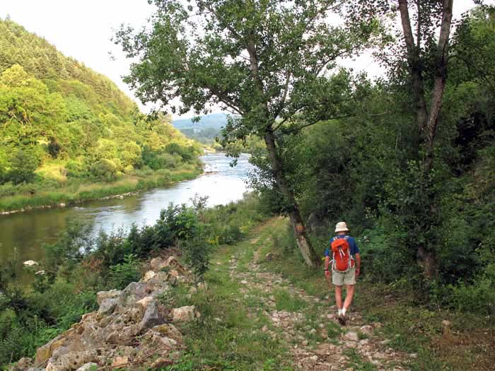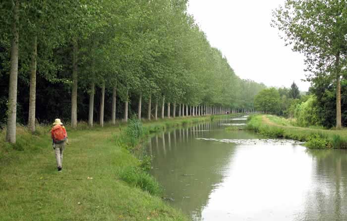
We had intended to do a continuous
What we ended up doing was a twelve-day walk from Cluny, heading south over the Mountains of the Beaujolais to Saint-Étienne, on through the gorges of the Loire to le Puy, then a train ride back to Saint-Amand-Montrond in the Berry.
From there we took another twelve days to get to Tours by way of the Cher river and the Canal de Berry.

Contrary to our usual habit, we had several rest days. This was during the mountainous first section, when our health was at its worst.
The second section was as flat as a tack and had the added virtue of closely-spaced villages, so we had no need for rest days.
A quick visual summary of this walk can be seen in the yearly photo album. For the statistically inclined, there is also a spreadsheet that gives details of distances, costs etc.
Our route for this year
The diary has been broken up into the following sections:
Cublize to Saint-Symphorien-sur-Coise
St-Symphorien-sur-Coise to Aurec-sur-Loire
Aurec-sur-Loire to le Puy-en-Velay
St-Amand-Montrond to Mehun-sur-Yèvre
Mehun-sur-Yèvre to Villefranche-sur-Cher
Villefranche-sur-Cher to Saint-Aignan
To see icons for each night’s accommodation on this map, press the full-screen symbol at the top right and then tick the accommodation icon box at the top left. Zoom in on a particular icon to see its precise location. These accommodation icons are also shown on all section maps.
You can also see this map using Google Earth and take a virtual flight along our route.