Our expedition for 2012 fell into two separate parts, the first in the south of France and the second in the centre. We usually like to have one continuous walk each year, but in this case we had a reason to do otherwise.
Because of misfortunes in past years, we had a couple of loose ends on our map, begging to be tidied up. The first was at Rémuzat in the Drôme, the place where Keith’s kidney stone got the better of him in 2008, and the second was at Lacelle in the Corrèze, where trouble with my eye had brought our 2009 expedition to an early end.
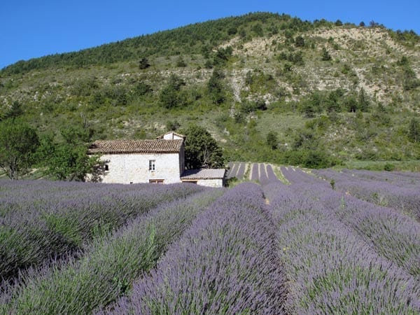
We started at Rémuzat (a village which can only be reached with the help of the local school bus), and pushed south over the mountains of the Baronnies, eventually crossing into the Luberon, where there was a tremendous heatwave.
From Cavaillon we followed the pilgrim Way of Arles through Montpellier and as far as Lodève, before turning north to traverse the Causse of Larzac.

This took us to Millau and from there we caught three trains and a bus to Treignac, a day’s walk from Lacelle.
The weather here was cold and rainy, so we suffered for three days until summer arrived. The tracks were so boggy that we had to walk most of the way to Montluçon on roads, and Keith developed a strain in his leg which got worse every day.
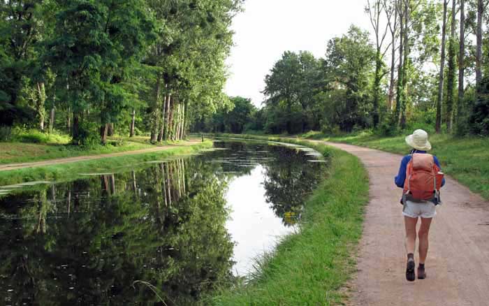
The last two days were on our old favourite, the Canal du Berry, and we finished at St-Amand-Montrond, having successfully tied off the loose ends of our ever more complicated map of France.
A quick visual summary of this walk can be seen in the yearly photo album. For the statistically inclined, there is also a spreadsheet that gives details of distances, costs etc.
Our route for this year
The diary has been broken up into the following sections:
Treignac to Saint-Hilaire-le-Château
Saint-Hilaire-le-Château to Montluçon
Montluçon to Saint-Amand-Montrond
To see icons for each night’s accommodation on this map, press the full-screen symbol at the top right and then tick the accommodation icon box at the top left. Zoom in on a particular icon to see its precise location. These accommodation icons are also shown on all section maps.
You can also see this map using Google Earth and take a virtual flight along our route.