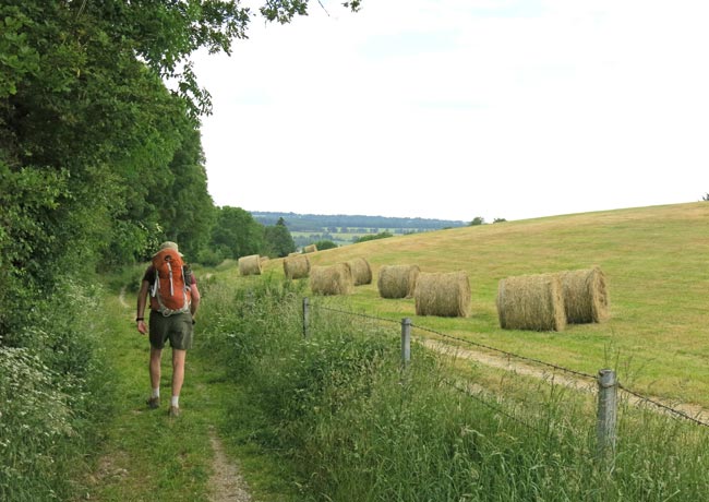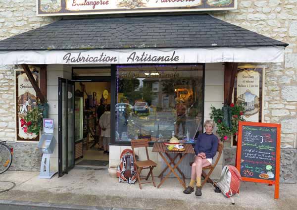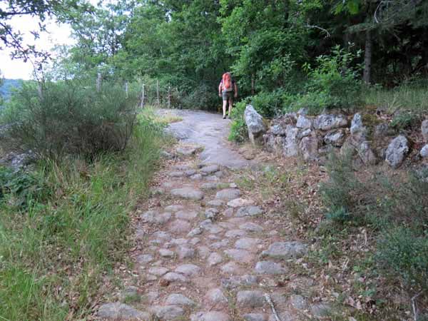
A 31-day walk of 670 km, from Millau on the Tarn to St-Mathurin-sur-Loire.
This year we took a generally north-westerly route, quite at odds with our normal direction, which tends to be towards the south or south-west.
The consequence was that we crossed our previous tracks ten times, and had the pleasure of some degree of familiarity at these places. On the other hand, there was plenty of novelty in between.
The rounded hills of the Aveyron would have been delightful if we had been able to find anywhere to eat in the evenings, and if we had not fallen sick. As it was we had only one proper dinner in the first five nights, but after that things improved.

We had intended to have one continuous walk, but when we got to Rodez, we realised that it would be madness, as the next day required us to walk 36 kilometres along a rough, uninhabited gorge, and we were in a weakened state.
Instead we took two easy days to get to Espalion, which is on the pilgrimage from le Puy, and then went by public transport to Figeac (also on the pilgrimage), where we resumed our walk.
Having completed the Rocamadour variant of the Way of Le Puy, we struck off to the north, over the Dordogne and Vézère rivers, and eventually reached the Vienne at Aixe-sur-Vienne.

The second half of our walk was beside this beautiful river. We followed it all the way to its confluence with the Loire, passing many fine, flourishing towns that we had never heard of. The final two days were down the Loire to rejoin our earlier finishing point at St-Mathurin.
The weather was surprisingly mild and even rainy sometimes, which was a lot better than the torrid heat that we have suffered many times in the past.
A quick visual summary of this walk can be seen in the yearly photo album. For the statistically inclined, there is also a spreadsheet that gives details of distances, costs etc.
This year we relied quite heavily on our own home-made maps for some sections of the walk, but we still carried TOP100s for the more straightforward parts. Please note that TOP100 maps are not really adequate unless you are following a GR. We include them only as a general guide. The details of how we made our maps can be found in Maps and Guides.
Our route for this year
The diary has been broken up into the following sections:
Saint-Robert to Aixe-sur-Vienne
Confolens to Lussac-les-Châteaux
Lussac-les-Châteaux to Châtellerault
Montsoreau to Saint-Mathurin-sur-Loire
To see icons for each night’s accommodation on this map, press the full-screen symbol at the top right and then tick the accommodation icon box at the top left. Zoom in on a particular icon to see its precise location. These accommodation icons are also shown on all section maps.
You can also see this map using Google Earth and take a virtual flight along our route.