Friday, 6 July 2018
Distance 23 km
Duration 4 hours 45 minutes
Ascent 115 m, descent 128 m
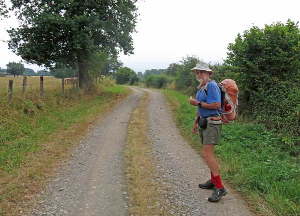
Making our usual early start (quite the reverse of normal holiday-maker’s habits), we set off back to the highway, munching little sandwiches made from left-over chicken and bread from last night.
As we walked past a field of corn we had to scamper to avoid being showered by a huge rotating sprinkler, which was doing a good job of watering the road as well as the corn.
We turned right at the highway but only stayed on it for a couple of hundred metres before taking a farm track going roughly parallel. That was where our home-made map stopped, and we could only hope that this track would prove to be the one on the bottom of our newly bought TOP25 map.
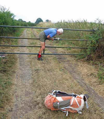
We came to a locked gate, which we squeezed through by taking off our packs, then another one topped by spikes, which opened easily with a sliding latch, luckily for us. Next there was a farmhouse and we felt sure that we were trespassing as we crept through the yard, looking for an exit onto the highway, which was nearby on our left.
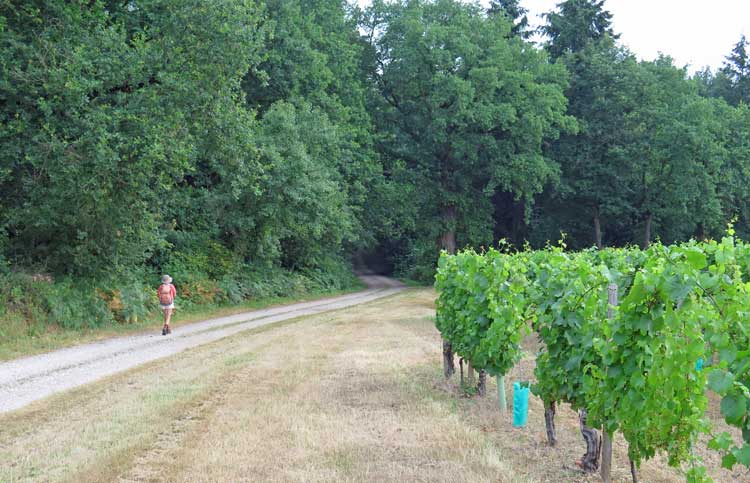
There was indeed an exit, but the gate was tall, and secured by a thick chain.
After a moment of panic, Keith saw that the chain was not actually locked, just looped around the post, and we were able to unwrap it, open the gate and walk out to freedom.
A few steps further on, a sign announced the village of Tilly, which meant that we were now definitely on our new map.
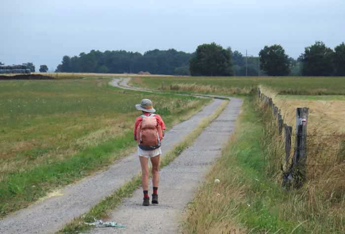
Taking a small side road, we soon rejoined the GR300, our companion of yesterday, and ascended gently through the fields.
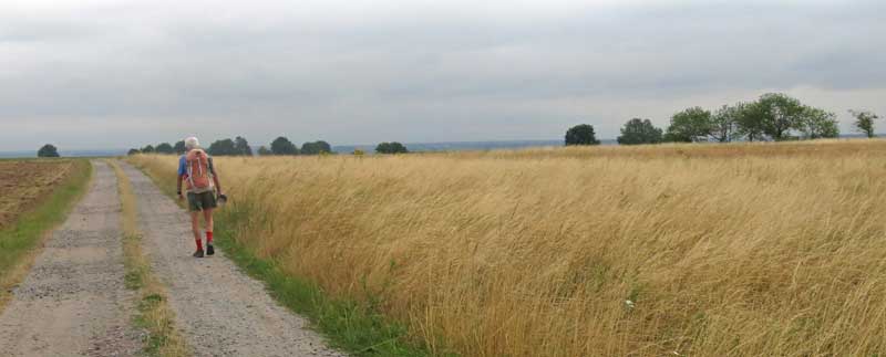
We were slightly surprised to pass small patches of vines here and there, looking long-established and well cared for.
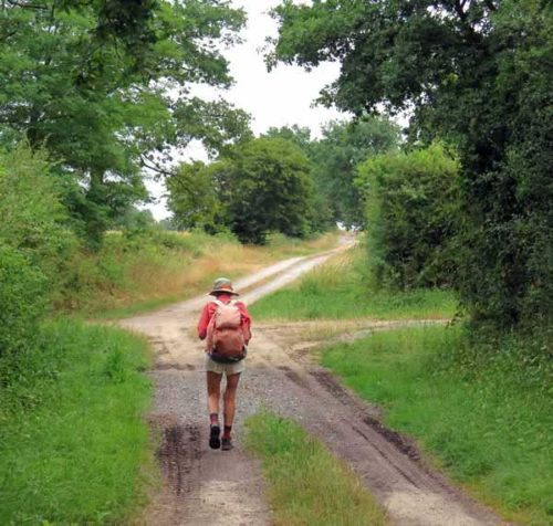
The bitumen reverted to gravel, and even grass in places, but the way was clear, especially with the GR marks.
There were also areas of forest, but on the whole the land was covered in wheat or pasture, giving it a beautifully open, airy feel.
After about an hour and a half we found ourselves back on the bitumen, descending to a big intersection and then a village.
Beyond that the GR continued up the the slope, but we turned off and headed for the village of Chemilly, which was on the highway (still the D2009) and therefore might have a bar, we hoped.
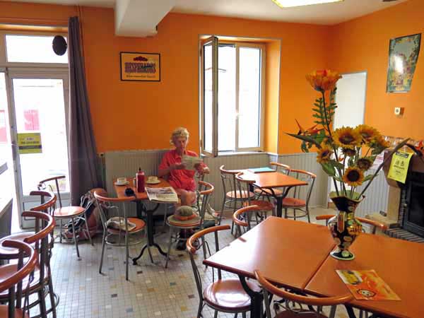
In the event it had not one, but two bars, face to face across the road, although one of them was not yet open (it was just after 9 am).
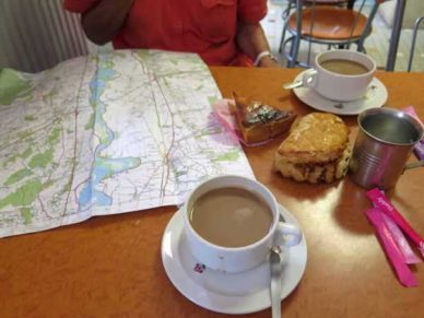
The open one incorporated a boulangerie, a presse and a tabac, of which we were only interested in the first. We were too late for croissants or pains aux raisins, but a chausson and a tarte went very well with our coffee.
Leaving Chemilly, we took a little road that climbed back to join the GR at the exact point where it angled acutely back on itself.
We cruised along in the direction that it had been going, which was a fine little track, but eventually we were forced down onto the highway and had to walk beside the cars and trucks for about a kilometre, until we were saved by the turn-off to Bresolles.
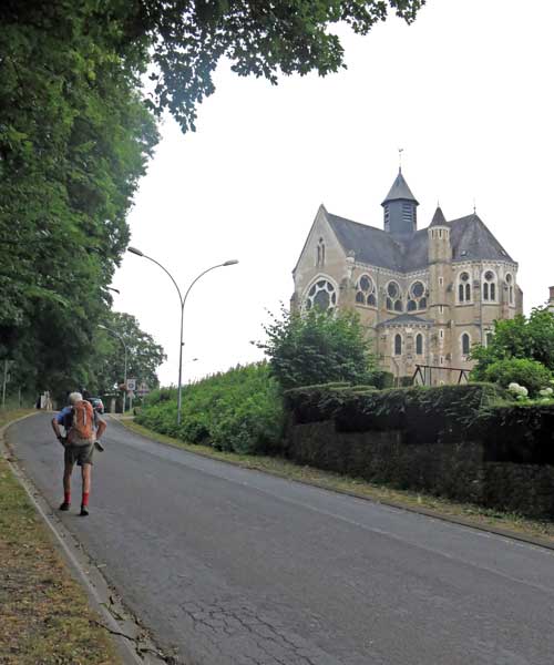
A short, sharp climb brought us to the grand Église du Sacré-Cœur, Bresolles and we never saw the rest of the town, as we turned off there and went down onto a tiny local road, along what looked like the flood plain of the Allier.
A little way to our right, the roaring procession of the highway was going the same way, and before long we entered the suburbs of Moulins, passed under the railway line, and arrived at the great western highway just before it crossed the bridge.
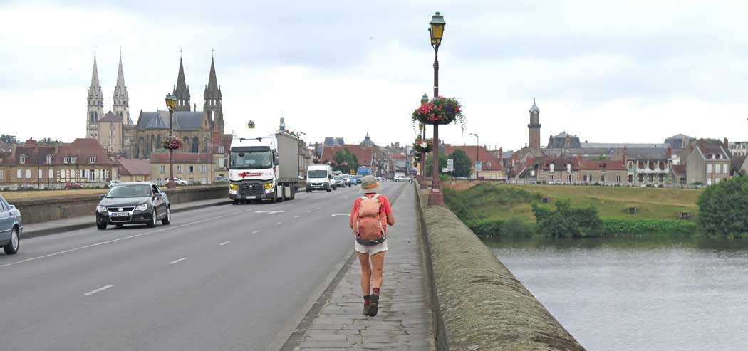
Moulins was familiar to us from our visit two years earlier, when Keith was recovering from a swollen leg. We saw the dark twin steeples of the nearby church, with the paler cathedral spires behind.
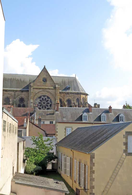
We had camped here for one night, but had discovered that the camping ground was only suitable for vans, not for tents (there were no sanitaires), so we had moved for the second night to a small hotel in town called Le Normandie.
This time we wanted to stay in the Normandie again, but when we got there, it had ceased to exist, and the building was half demolished. We hurried up to the main square and asked a waitress for directions to the Office of Tourism, which she gave, warning us that it closed at 12:30 pm (it was now 12:25).
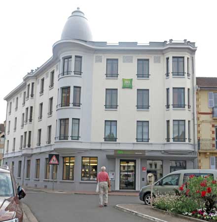
It was up near the cathedral and we arrived panting on the stroke of 12:30. Once through the door we were no longer in a hurry. We got a list of hotels and the woman rang up the nearest ones to find the price of their cheapest room. All were expensive but the best offer was from Ibis Styles, which was close to the ex-Normandie – €96 with breakfast thrown in. Our problems were solved for today.
In a much-relieved frame of mind, we strolled down and presented ourselves at the hotel. Our room turned out to be very small and oddly-shaped – a glorified broom cupboard came to mind – but it was far cheaper than anything on their official price list, so we were happy.
The afternoon passed pleasantly. We used our previously downloaded MAPS.ME on Keith’s iPod to make a sketch map for the part of tomorrow’s walk that was beyond our TOP25 map, up to where our own maps began again near Bourbon-l’Archambault. (Note: Since we wrote this, a better alternative to MAPS.ME has appeared. It is called Organic Maps.)
At 4 pm we watched a football match on TV, the World Cup quarter-final between France and Uruguay. France won and the streets outside erupted with car-horns, shrieks, waving flags, explosions and dancing.
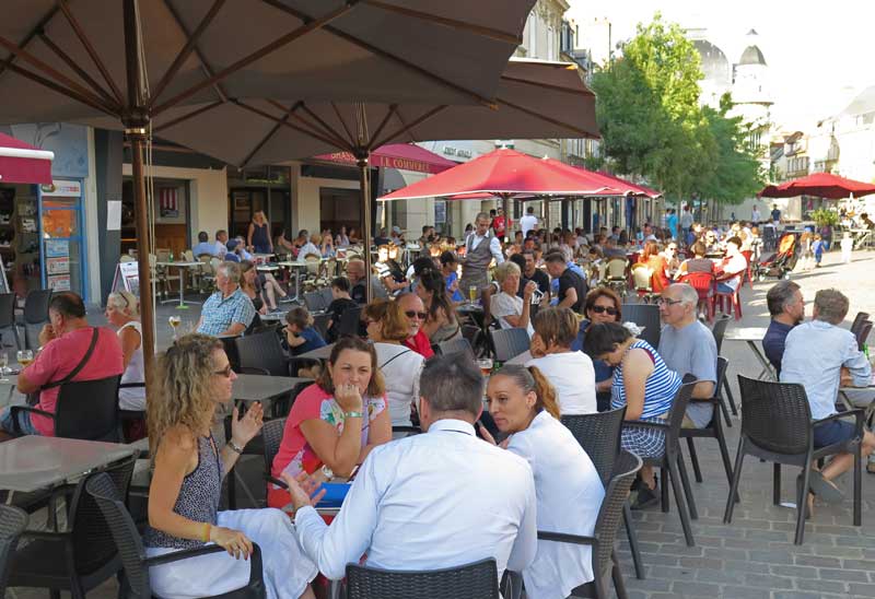
We went down and joined the happy throng, where everyone seemed as overjoyed as if it had been the grand final.
Then we moved into the long, elegant church square, which was a sea of humanity, for a drink under the umbrellas of a street bar.
Later we were lucky to get the last outdoor table at Valentino’s for dinner, and even indoors was crowded.
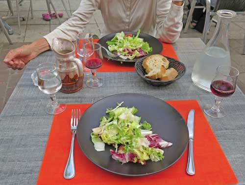
For a start we shared a salad, just to accompany our bread and wine.
Then Keith had lasagne and I had aubergine calabraise, both of them delicious, especially as we had not had lunch.
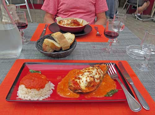
We spared a passing thought for what we might have been having if we had stuck to our original plan – probably a cold crust in the desolate aire de camping-car of Noyant d’Allier.
On our short walk back to the hotel there were still crowds, mostly teenagers, milling about, waving French flags and taking photos of each other on their phones.
Previous day: St-Pourçain-sur-Sioule to Châtel-de-Neuvre
